 TARWATER TO POMPONIO: PORTOLA REDWOODS & PESCADERO CREEK PARKS
Hike Date: Saturday, December 4, 2021
Leader: Gary Weiss
Leader Email: gary@sfhiking.com
Leader Phone: 415 279-5570
Meeting Location (ONLY IF you've arranged for a ride in SF): Whole Foods;
2001 Market St. @ Dolores (on the Dolores St. side); parking on the street or below.
Please only show up at Whole Foods if you've arranged to meet your ride or driver there.
Meeting Time: 8:30 AM
Departure Time: Shortly after 8:30 AM
Rating: Level 3
Mileage: 9.5 miles
Elevation Gain: 1850'
Description: This hike begins from a crazy remote parking area in the middle of nowhere in what is considered part of Pescadero Creek Park. Immediately we're deep inside the redwood forest climbing down all the way into Portola Redwoods. We'll then be on the beautiful and mostly level Pomponio Trail until beginning our climb back up to the top via Bear Ridge, Canyon and Tarwater Trails - a fairly steady climb all the way up.
On the way, maybe 30 minutes before the end of the hike we pass the old barn (above photo). During the fires a couple of years ago all of Pescadero Creek Park was closed for a good part of the year; the town of Pescadero was even evacuated. We pass signs of fire down in the valley, but fortunately the barn remains for at least another generation.
There's an option to reduce the length of the hike by 2 miles if the weather isn't cooperating.
PLEASE LET ME KNOW IF YOU NEED A RIDE AND/OR CAN TAKE A PASSENGER, AND WHAT YOUR COMFORT LEVEL IS REGARDING PASSENGERS.
Bring / Wear: Please bring plenty of water (nowhere to fill up), lunch, sturdy hiking shoes. The last mile is relatively exposed.
Weather Policy: Check with hikeleader in the event of questionable weather.
Alternate Meeting Place:
PLEASE DOWNLOAD YOUR MAP BEFORE LEAVING THE CITY!
You can either take 280 or Skyline (#35). If you're on 280, exit at Woodside Road (#84) and stay on Woodside Road all the way up to Skyline before turning left on Skyline going south for 7.2 miles to Alpine Road.
If you've taken Skyline it's about 22 miles before you hit Alpine.
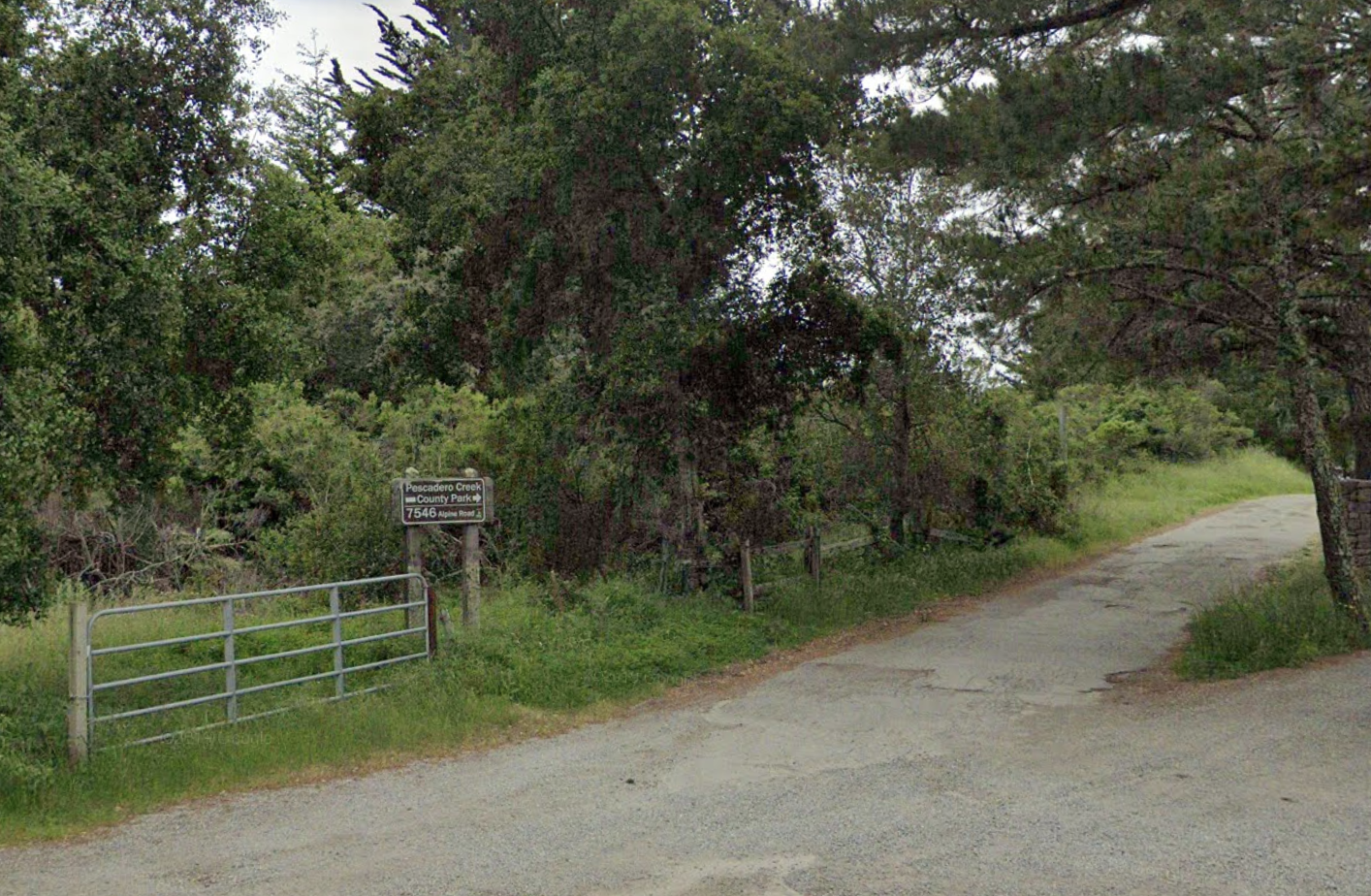
Once at Alpine, turn right going west for about 4 miles. At an intersection, Alpine Road makes a 90 degree right turn - but you don't! Stay straight on what is now Camp Pomponio Road. There's a very small sign on the left saying Pescadero Creek. That's what you should take. You WILL think you're lost and on someone else's property. It's a fabulous single-lane, pothole-covered dirt road. Small parking lot on the left at the end. Here's a photo of your final turnoff (you'll take the upper one-lane country road):
Google Maps Link
Alternate Meeting Time: 10:15 AM
Alternate Meeting Departure Time: 10:30 AM
Total driving distance, there and back: 100 miles
Passenger Carpool Fees including Bridge Toll: $13
Level-1
|
Level-2
|
Level-3 |
Level-4 |
Level-5 |
|
easiest
< 5 miles
< 500' gain
|
moderately easy
5-7 miles
< 1000' gain |
moderate
7-9 miles
< 1500' gain
|
strenuous
9-12 miles
< 2000' gain
|
very strenuous
12-15+ miles
>2000' gain |
